
Activates the point feature type for data capture. Tap the map to create a new point feature at the tapped location into the edited layer then DigiTerra Explorer proceeds to capture attributes according to the Settings > Record > New record: <selected option>. The point feature type remains active for data capture until another tool is activated. The Point button allows capture on the screen with the pen or mouse but not with incoming GPS coordinates.
Tap / Left click: captures point feature at the tapped location
Drag: captures point feature at the tapped location using crosshairs
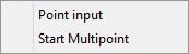
Tap and hold / Right click: displays the Context menu
Context menu
|
Opens the Insert Point panel. Only this option appears in the context menu when there is no vector feature layer on the Layer Manager or when the edited layer's file format is not MAP - DigiTerra |


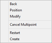
Multipoint context menu
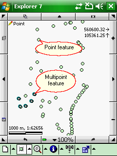
Point and multipoint features in a MAP - DigiTerra layer
|
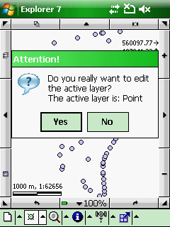
The point feature type for data capture is only available when editing is turned on for the active layer on the Layer Manager and the layer's feature type is POINT, anyway the following cases are possible:
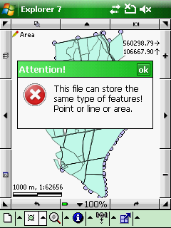
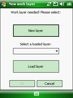
1.If the active layer is a POINT feature layer but the editing is turned off or the layer locked on the Layer Manager the following message box appears to enable editing in the active layer: 2.If the active layer is a POINT feature layer but the edited layer is a line or polygon feature layer (or a data table or a text file) the following message box appears: 3.If the active layer is a raster layer or there is no vector layer on the Layer Manager the New work layer panel appears to select an existing layer from the project or create a new one: |
Available in
|
Basic |
Advanced |
Professional |
Availability of the "Point" tool in different editions |
|
|
|
 = new feature
|


