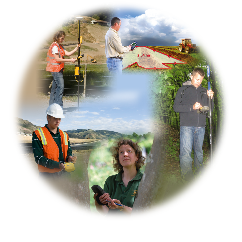
No matter in which industry you work, you should consider to use DigiTerra Explorer for your field mapping and mobile data capture projects. Here are some examples of our most typical customer groups:
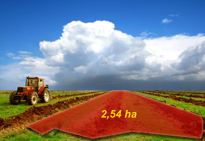
- Agriculture: Farmers in Hungary measuring their parcels with GPS receivers for EU subsidy claim
- Forestry: Foresters in Austria surveying of forest parcels damaged by storms
- Field survey: Supervisors of Ministry of Health in Poland surveying wells and springs
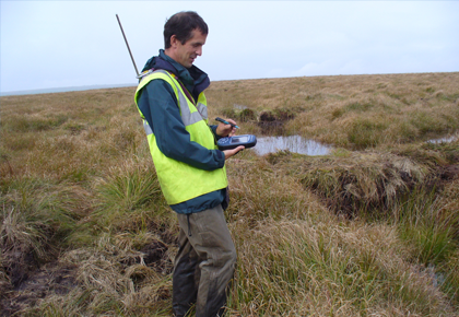
- Environmental services: Field workers in the United Kingdom performing vegetation survey to protect power lines
- Utilities: Field workers in Germany performing water pipeline maintenance with cable locator integration
- Nature protection: Botanists in the United Kingdom surveying and cataloguing protected plants with laser range finder integration
If you want to know more about interesting mobile GIS projects, take a look at our detailed customers stories:
Alert system supported by mobile map orientation

Altötting, a well-known destination for pilgrims in Bavaria, and Neuötting in its neighbourhood have almost become one town by now. The drinking-water supply of local inhabitants and guests is provided independently in both towns. To save costs the towns have recently set up a common alert system.
Paleontological research in Portugal
Dinosaurs’ fossils located with GPS handhelds
Read moreVegetation management services in the UK
Supported by field data collection
Read moreWater and sewerage administration in Turkey
Supported by DigiTerra Explorer mobile GIS technology
Read moreMapping caves in Bulgaria
Surveying underground galleries and natural caves
Read more